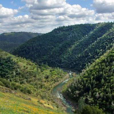
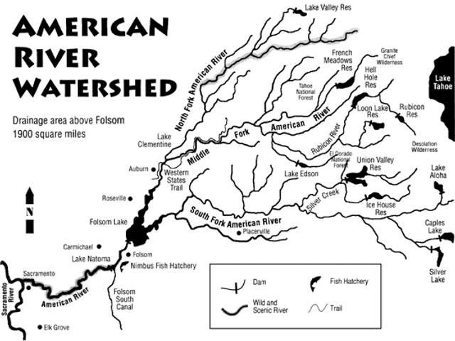
The American River drainage covers 1900 square miles of the Tahoe and El Dorado National Forests, including the Granite Chief Wilderness and Desolation Wilderness.
Flowing west from the peaks of the northern Sierra Nevada west of Lake Tahoe, its streams gradually converge into the South, Middle and North Forks of the American River. It is a classic multi-use watershed, supporting mining, hydroelectric generation, timber cultivation, and many forms of recreation.

The South Fork of the American River is 90 miles long, with an 850-square-mile watershed. It originates in the high Sierra in the El Dorado National Forest. The river flows west, receiving Silver Creek, a major tributary, and flows past the town of Coloma where it then turns southwest and continues into Folsom Reservoir.
It is the hardest-working fork, with eleven hydroelectric plants operated by Sacramento Municipal Utility District (SMUD), El Dorado Irrigation District, PG&E, and Rock Creek Powerhouse.

The shortest of the three branches, the Middle Fork of the American River is 65 miles long, and its watershed covers 312 square miles. Originating almost due west of Lake Tahoe in the Granite Chief Wilderness Area, its tributaries flow through both Tahoe and El Dorado National Forests.
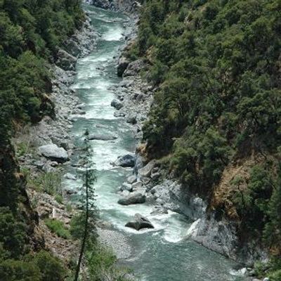
It is characterized by steep canyons that are somewhat broader than those of the North Fork, natural waterfalls, and quiet riparian areas. It flows west-southwest from its headwaters through French Meadow Reservoir, interspersed with man-made reservoirs, and receives the Rubicon River, a designated Wild Trout Stream, before joining the North Fork. Twenty-three miles of the Middle Fork American are eligible for National Wild and Scenic River status.

According to the Sacramento River Watershed Program, the North Fork of the American River is 85 miles long and its watershed encompasses 287 square miles. It begins at an elevation of over 7,000 feet in eastern Placer County in the Tahoe National Forest, and flows westward through remote wilderness areas.
The North Fork features scenic multi-use trails along forested ridge tops and riparian corridors. It flows freely as a federally eligible National Wild and Scenic Rivers System river until being impounded by a small debris dam, Clementine (North Fork Reservoir), immediately north of the Foresthill Bridge. Four miles downstream from the dam, it is joined by the Middle Fork and meanders past the site of the abandoned Auburn Dam before reaching Folsom Reservoir.
