Thanks to the California Department of Water Resources for providing web pages linked to real-time gauges for the South Fork and many other California rivers.
Dreamflows – Chris Shackleton’s ultimate flows pages for western U.S. rivers. Free Dreamflows reports and alerts are available via email. The site also includes bulletin boards, photos, and river information.
CA DWR CDEC Interface – Jef Poskanzer’s simplified interface to the California Data Exchange Center (CDEC) of the California Department of Water Resources (DWR).
CDEC: Real-Time River Stages – List of all rivers reported by CDEC, with links to the latest flows.
Recreational River Flows – Mike Bean’s quick and easy flow interface.


USGS Real-Time Water Data for California – Daily streamflow conditions for California locations.
USGS Real-Time Water Data for the Nation – Links to current streamflow conditions across the United States.
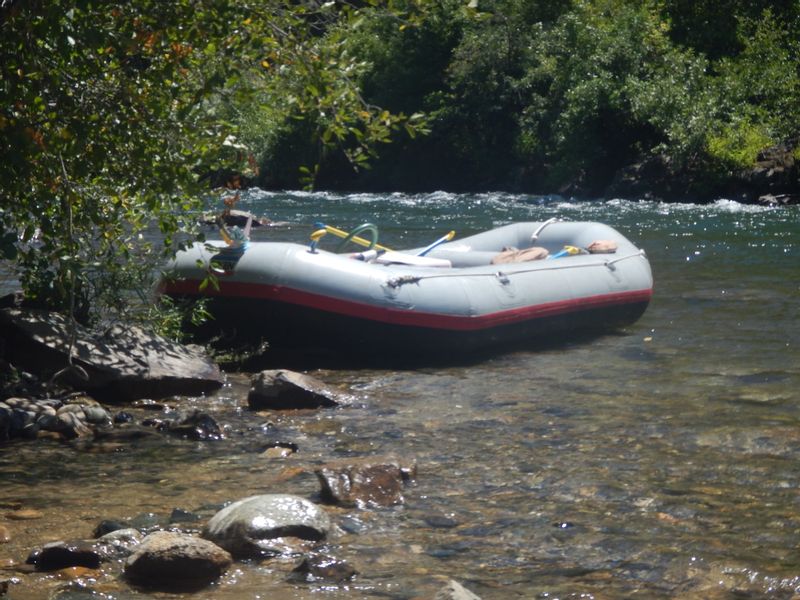
Permits and water flow information – For permit and water flow information please call USFS Groveland at 209-962-7825.
American Water Resources Association – To advance multidisciplinary water resources education, management, and research.
California Division of Flood Management – State of California water resource page links to current river conditions, snowpack status, satellite images, weather forecasts, etc.
Floor Risk Management and the American River Basin: An Evaluation – Read the National Academies Press article about the U.S. Army Corps of Engineers (USACE) investigations of flood control options for the American River basin and evaluates flood control feasibility studies for the watershed, with attention to the contingency assumptions, hydrologic methods, and other analyses supporting the flood control options.
SMUD: Upper American River Project – SMUD’s Upper American River Project (UARP), consisting of 11 reservoirs and eight powerhouses, generates enough electricity to meet about 20 percent of SMUD’s customer demand. This page concerns the relicensing which is in progress and may substantially affect flows for fish and wildlife, boaters, and other stakeholders. Includes documents, meeting minutes, and other information.
Water Resources of California – The U.S. Geological Survey (USGS) provides extensive background and historical data.