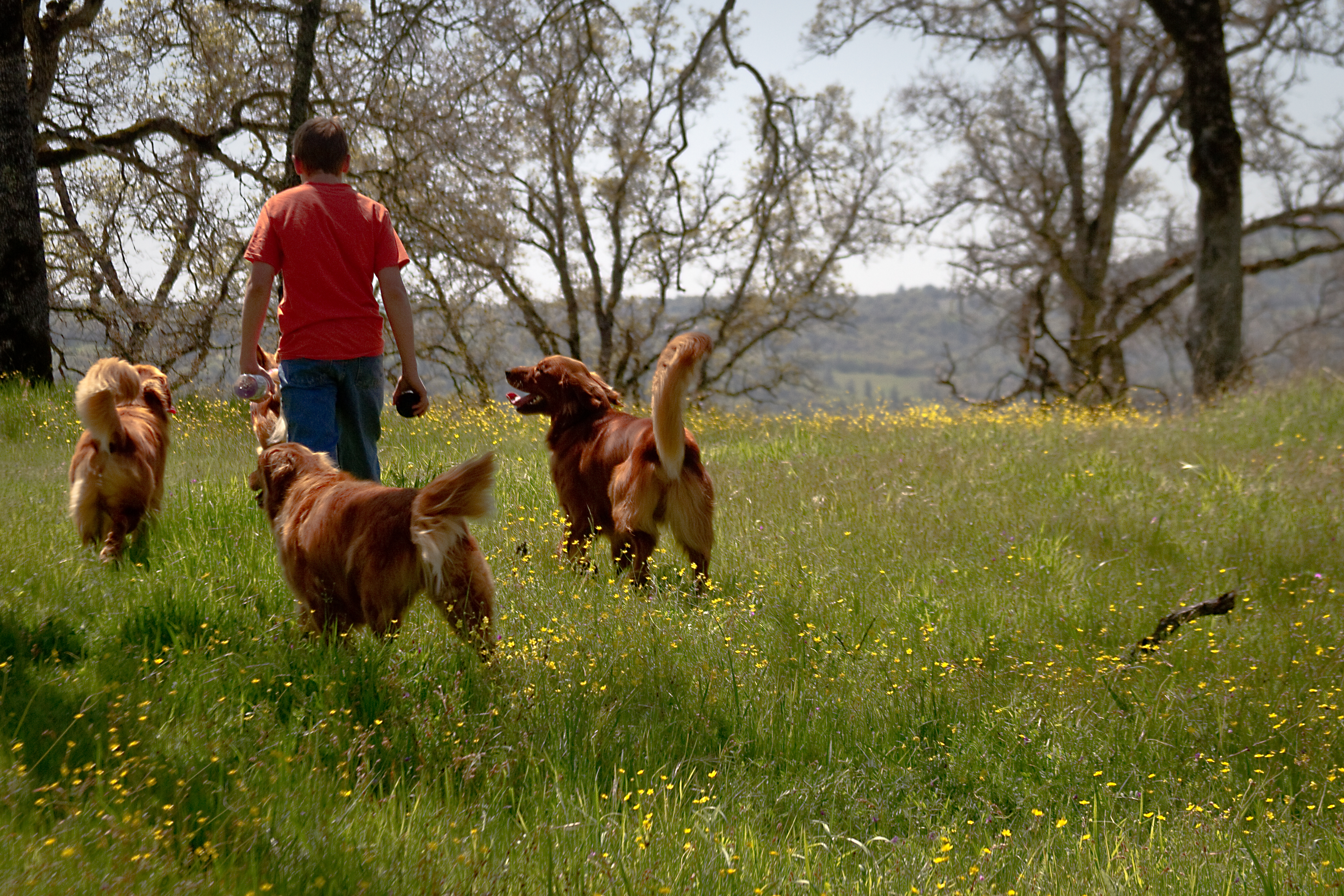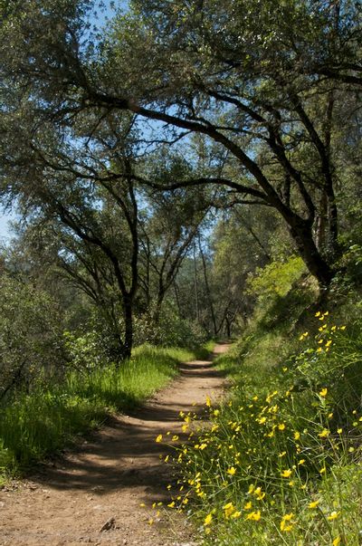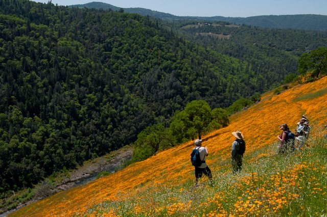
The North and South Forks of the American River have extensive hiking trails. The more rugged and demanding are those of the North; the South Fork has its share of difficult trails but also many that are suitable for an afternoon outing.
ASRA Canyon Keepers – The Canyon Keepers hike the trails in Auburn State Recreation Area, taking notes along the way. They then create trail guides from the information they gather. The guides include information such as distance, time to hike the trail, elevation profile, a description of the significant points of natural and historic interest on the trails, and directions to the trailhead. This site posts downloadable PDF files of their guides.


Auburn State Recreational Area – Top ten trails in the Auburn State Recreational Area featuring the Auburn-Cool Trail. The Auburn-Cool Trail is quite suitable for all trail uses. Hikers can find tennis shoe comfort even on wet days. Horses can have wide-road shoulders to themselves. On the Cool side, the paved road might just be the best roller-blading around, if anyone knew about it. Bikers can save time on the pavement and the long downhill cruises, and either walk or get a challenging workout on the climbs. Beginning bikers can go there to avoid conflicts on the narrower and more crowded trails.
California Hiking Guide – Hiking Project has links to the Tahoe Rim Trail, and El Dorado National Forest trails, along with many other locations in California and other hiking links.
Cronan Ranch Regional Trails Park – Located in Pilot Hill, California, Cronan Ranch contains over 12 miles of trails for hiking, biking, horseback riding, fishing, bird watching, and other passive recreation. The borders of the Park follow the South Fork American River, Highway 49, Pedro Hill Road, and private lands. The Park is open daily from sunrise to sunset year-round. There is a wide variety of terrain to choose from, including gently sloped to challenging hills, oak woodland, and gentle riverfront trails.
Hiking in El Dorado County – El Dorado County site lists several hiking spots with brief descriptions including Desolation Wilderness, El Dorado National Forest, Tahoe Rim Trail, D. L. Bliss State Park, Emerald Bay State Park, Dave Moore Nature Area, North Star Tree Farm, and Rubicon Outdoors with links to many of the areas for more information.
North Fork of the American River – This wonderful blog is subtitled, “Accounts of explorations in the Great American Canyon, Placer County’s Yosemite.” The author, Russell Towle, writes of his hikes in the canyons of the North Fork of the American River. Several years' worth of stories, natural history, and philosophy are interspersed with logistics information and trail maps. A quote, “It is my philosophy that the old trails of the North Fork need to be known, not unknown. The North Fork of the American River–its wildness, its beautiful scenery, its historic trails and mining ditches, and prehistoric sites–deserves every kind of protection and preservation. But this protection and preservation is hardly possible if no one knows the great canyon and its great old trails.” RIP Russell 8/8/2008
Sacramento Area Running Trails – Descriptions of running trails along the lower American River and near Foresthill, from the Buffalo Chips Running Club. Buffalo Chips is a Sacramento area running club that embraces speedy runners, recreational joggers, and walkers. They also have an active youth program, the Chip Youths.
Tahoe Mountain Milers Running Club – Lake Tahoe area running club for all ages and abilities. Training runs, fun runs, track workouts, and adventure runs. The site includes maps of favorite Tahoe area runs. For detailed weekly information regarding upcoming run schedules and other events, check the site or call the club hotline at (530) 541-5122.
Western States Endurance Run – This 100-mile run along the Western States Trail starts at Squaw Valley, California. The trail runs down the North Fork of the Middle Fork of the American River drainage, crossing the main stem of the Middle Fork below Ruck-a-Chucky, and re-crossing at No Hands Bridge on its way to the Auburn finish line.
Salmon Falls 50k Endurance - Coloma River Races is a non-profit that offers a challenging and unique trail race experience. This hidden gem offers adventurous terrain and breathtaking views–all in Sacramento’s backyard. The Salmon Falls 50K is a point-to-point ultra-distance trail race. The race begins at the Magnolia Ranch Trail Head near Coloma. The course will run the majority of the trails in the Cronan Ranch area before winding down to Folsom Point State Park at Folsom Lake.
Acorn Creek Trailhead
ASRA Map
Cronan Ranch Map
Marshall Gold Map
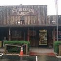
378 Hwy 49, Coloma, CA 95613
ATM & EBT accepted. Groceries, beer, wine, liquor, lotto, river/camping supplies, & fishing licenses. Close to Marshall Gold Discovery State Park. Open 7 days a week. 530-626-0849

1032 Lotus Rd, Lotus, CA 95651
Kayaking-Rafting-Camping. Sales, rentals & World Class Kayak Instruction. Clothing, snacks, drinks, sundries and outdoor accessories. Visitor's info, local experts, maps & books. Over 35 years in Lotus. theriverstore.com 530-626-3435

310 Back St, Coloma, CA 95613
Find unique gifts, gold nuggets and jewelry, souvenirs, books, clothing, historic items and more. Located in the visitors center at Marshall Gold Discovery SHP. www.marshallgold.com 530-622-6198

5461 Bassi Rd, Lotus, CA 95651
Friendly and beautifully maintained, natural setting with lodging and camping. Deli, store, 1/2 mile of riverfont. Inside the main building you will find everything you need from soda, beer, s'mores fixings, general camping supplies, tshirts and... www.camplotus.com 530-622-8672