Confluence Trail
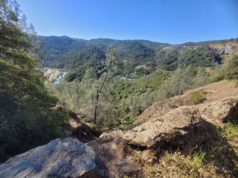
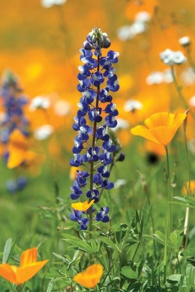
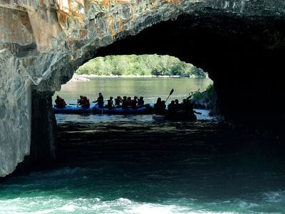
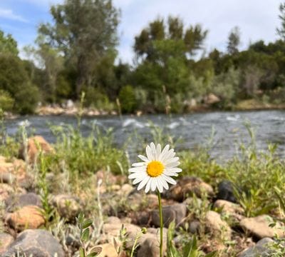
Confluence Trail is a 3.5 mile out and back trail located near Auburn, California that features a river and is good for all skill levels. The trail is primarily used for hiking, walking, and mountain biking and is accessible year-round. Dogs are also able to use this trail but must be kept on leash. This trail provides a short scenic out and back excursion through rolling chaparral and open grasslands that is dotted with wildflowers in the spring. It offers the best views of the waters of the Middle Fork American River above the confluence area, as well as unique views of the quarry site on the opposite bank. It is often combined with other trails to make a longer excursion.
- Distance 1.8 miles one way
- Approx length of time ½ hour down; 1 hour up (hiking)
- Difficulty Moderate
- Website
Trailhead East parking is on Old Foresthill Rd. From the Foresthill Bridge, drive approx. 3 miles towards Foresthill. Turn right onto Old Foresthill Road at the sign for Cool, Placerville, & Hwy 49. Drive down for approx. 1.5 miles. Parking is on the left in a small dirt turnoff in front of a bulletin board, just before the entrance to the Mammoth Bar OHV area. This area may also be reached by driving approx. 1.5 miles up the Old Foresthill Road from the confluence area. This turnout also serves the trailhead for the Culvert Trail that begins across the road. To reach the Confluence Trailhead, [N38-55-235; W121-00-739] walk down the Mammoth Bar Rd for 0.2 mile, past the self-pay kiosk for OHVs. Trailhead is on your right behind the yellow gate [#107].
Trailhead West parking is on Old Foresthill Rd at confluence area, 1¾ miles south of ASRA Park Headquarters. Take Hwy 49 from Auburn south to Old Foresthill Road at the bottom of the canyon. Continue straight for ¼ mile. Cross the curved Old Foresthill Bridge, and park on the right. Trailhead is between large “Warning Strong Current” sign and a port-a-potty. At fork, go left on the trail above the beach.